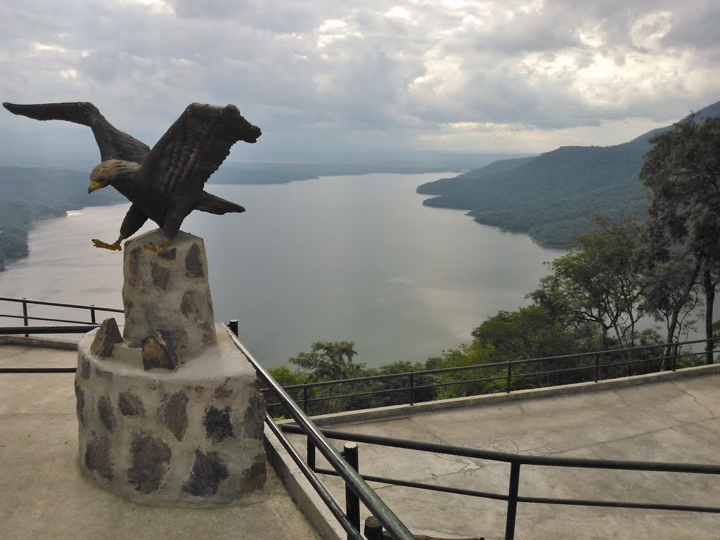
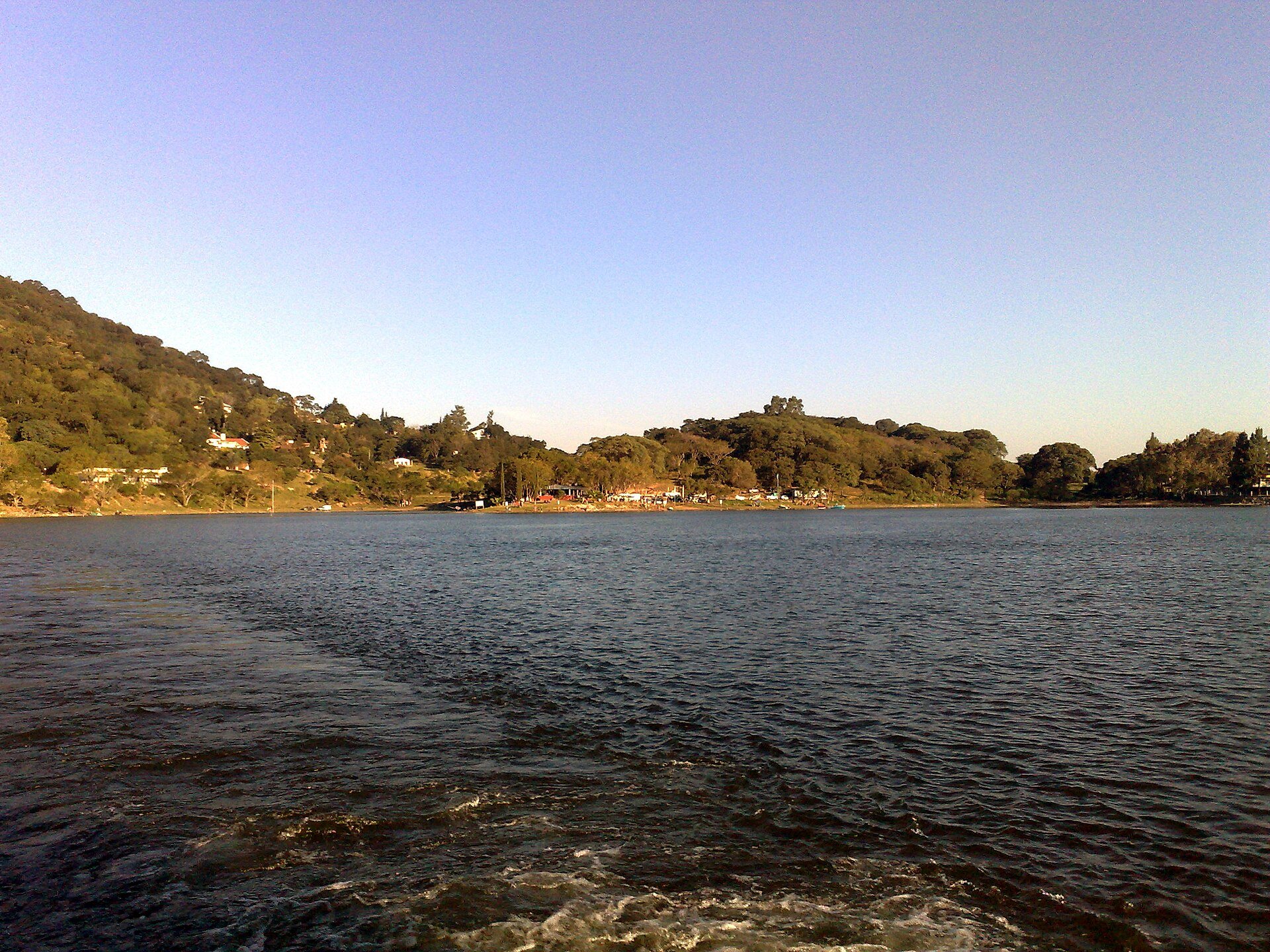
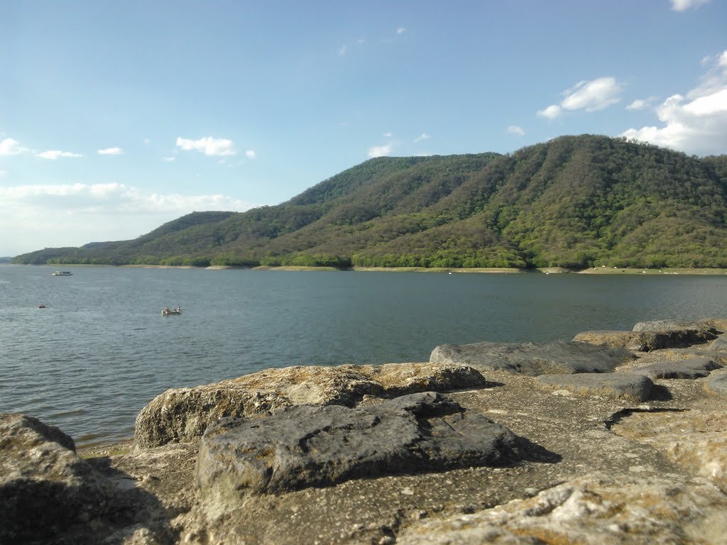
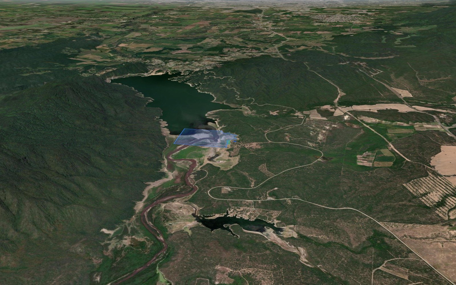
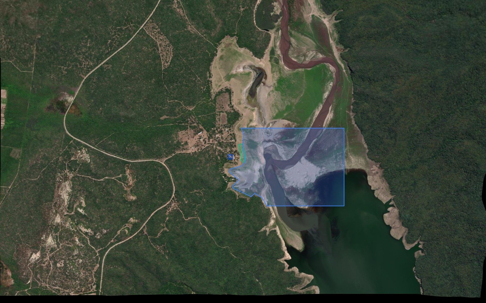
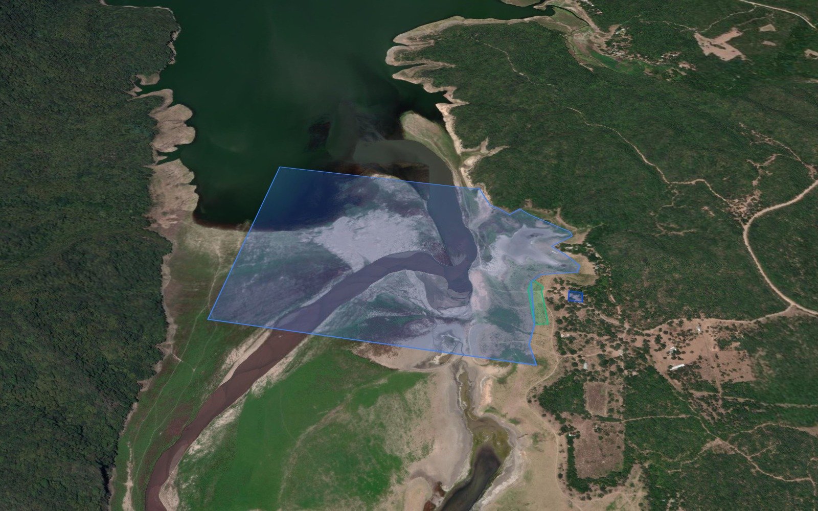
The tail of the El Cadillal dam (Celestino Gelsi reservoir) is the kite sector of Tucumán: the northern end of the lake, towards Ticucho, where the Río Salí enters. At the Club Vela Tucumán they say that the wind is more intense in the tail than in the front part, with a base of about 10 kt, and instructors consider it the best sector of the dam for kitesurf. Several Tucumán riders learned there and a stage of the Argentine kite foil tour was held here. Launch is from the west coast, in the open grassland where the dirt track coming from the RN9 through Tapia ends, and you ride in the entire tail of the lake. The wind that works is the south: it enters through the dam and runs along the lake, side-shore to the launch, with flat water. It is a valley wind, light and gusty, and it doesn't blow as many days as in other spots in the country: ideal for foil and large kites. The best months are from August to November. The level of the dam changes a lot throughout the year. With low water, the tail becomes a mud beach with the riverbed in the middle and you have to walk to the water; with the dam full, you launch directly from the grass. The entire tail is shallow: be careful when falling near the shore. The east coast is dense bush of the Reserva Natural Aguas Chiquitas. There are no services in the tail: bring everything and do not ride alone. Photos: "Embalse El Cadillal vista panorámica" by Ivanlud (CC BY-SA 4.0), via Wikimedia Commons; "El Cadillal - lago del Dique El Cadillal - Tucumán - Argentina" by Lectornet (CC BY-SA 4.0), via Wikimedia Commons; "Embalse el Cadillal" by Ivanlud (CC BY-SA 4.0), via Wikimedia Commons.
Automatically translated